Not open yet for 2026/27. We have not yet found an official opening date. The snowfall below is a model figure and does not mean the slopes are skiable.
Base depth
2cm
Snow 48h
1cm
Next 72h
0cm
A weather-model figure, worked out the same way for every ski area, and lower than what actually falls. Use it to compare ski areas, not against the resort’s own totals. How we measure →
Snow 24h
1 cm
Next 24h
0 cm
Temperature
−5°C
Max wind
7 km/h
Elevation
222–466 m
Across
2.1 km
This season so far (1 Nov to 9 Nov): 10 cm. The average for these dates is under 10 cm, so we do not give a percentage yet. The average is over twelve winters on the same weather model. Across Japan →
Updated: 10 Nov 2026, 12:15
7-day outlook
Date
Weather
Snow (cm)
Low / high (°C)
Wind (km/h)
Tue 10 Nov
Snow
0
−9 to −2
8
Wed 11 Nov
Cloudy
0
−9 to 1
11
Thu 12 Nov
Fog
0
−2 to 8
22
Fri 13 Nov
Fog
0
2 to 10
22
Sat 14 Nov
Cloudy
0
−2 to 9
12
Sun 15 Nov
Drizzle
0
−2 to 7
8
Mon 16 Nov
Snow showers
2
−7 to 4
13
Score breakdown
Fresh (48h)2/40
Forecast (24h)0/25
Snow quality16/20
Wind10/10
Base0/5
The five add up to the 100-point Powder Score: more fresh snow, more on the way and colder air all push it up. How we measure
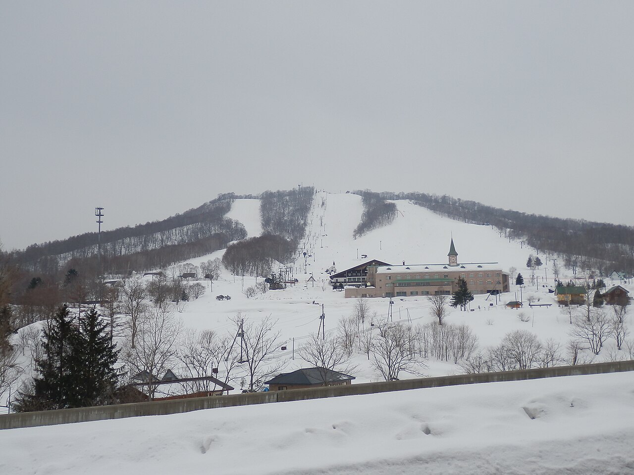
One lift serves the summit, with groomed runs on the east face and, on the west, the West Powder Area, where no groomers go. The west face was a closed run before it reopened for powder. It opens only once there is enough snow and needs an entry ticket on top of the lift pass. A free shuttle brings riders from the bottom of the west side back to the east-side lift. Sources: kamoidake.co.jp, bepal.net (sources read 12 Oct 2026; an AI draft the site operator has not yet checked)
Runs and lifts
Counted from the runs and lifts drawn on OpenStreetMap, within the boundary of the ski area. These are not the resort’s own published figures.
Marked runs
4
Run length
3.6km
Lifts
4
Vertical
244m
Top 466 m · base 222 m
Run map
EasyIntermediateAdvancedLift
North is up. Runs are coloured by difficulty; black lines are lifts.Lifts that run far beyond the ski area are cut at the edge of the map.Slope shape, difficulty and lift types
The shape of the mountain
Longest run on the map1.2 km
Steepest pitch25°measured over at least 30 m
Average gradient of the runs13.6°
Which way the slopes face
North5%
East0%
South6%
West89%
Only 5% of the vertical on the runs descends to the north or east. The most common direction is west (89%).
The most snow falls in December. March brings 66% of January’s snowfall. That is a gentler fall than the median for ski areas in Japan (52%). For skiing, though, the amount matters more than the share: March brings 37 cm, less than the median of 46 cm.
64cmDec
56cmJan
45cmFeb
37cmMar
Average snowfall by month, last 12 winters
Winter by winter
Across the 12 winters measured, the average is 201 cm, and 4 of them fell short of it. The leanest was 2019/20 with 153 cm; the biggest was 2017/18 with 251 cm (1.6 times as much). For 63% of the 397 ski areas in Japan the leanest winter was 2015/16; here it was a different one.
Total snowfall from December to March recorded at the 滝川 weather station — 7.8 km from this ski area, 261 m below its mid-slope.
Three-season average
506 cm
2023/24
498 cm
2024/25
535 cm
2025/26
485 cm
The figure calculated on this page is 206 cm.
A weather station is not a ski slope. We picked one at a similar elevation, but it stands in a valley or a village. More snow falls on the mountain above it. We have not tried to guess how much more.
Source: Japan Meteorological Agency historical records
Worth seeing nearby
Within 20 km in a straight line, nearest first. Some lie over a pass that is closed in winter.
Show the list
Place
Type
Distance
Roadside station Utashinai Chiroru-no-yu道の駅うたしないチロルの湯
Chosen from the places most read about on Wikipedia, favouring those with an English article. Based on the Japanese Wikipedia lists of sights in each prefecture, as compiled in travel-log-data (CC BY-SA 4.0). English names from Wikidata (CC0). The content of this section is available under CC BY-SA 4.0.
Map
The weather map, and where it sits among nearby ski areas.
4 places within 12 km of the slopes, as mapped on OpenStreetMap, many of them small inns and pensions. Many are not on booking sites — open the name for the website or the map.
We checked the 2026/27 adult day ticket on each resort's own site. At the window it runs from ¥7,000 at Akakura Kanko to ¥16,700 at Rusutsu. Buying online saves up to ¥3,500, and the first and last weeks of the season cost up to half. For those cheap spring weeks, we add which way each resort's slopes face.